
$3.00
Add to Cart
VERMONT - 1995 Official State Map
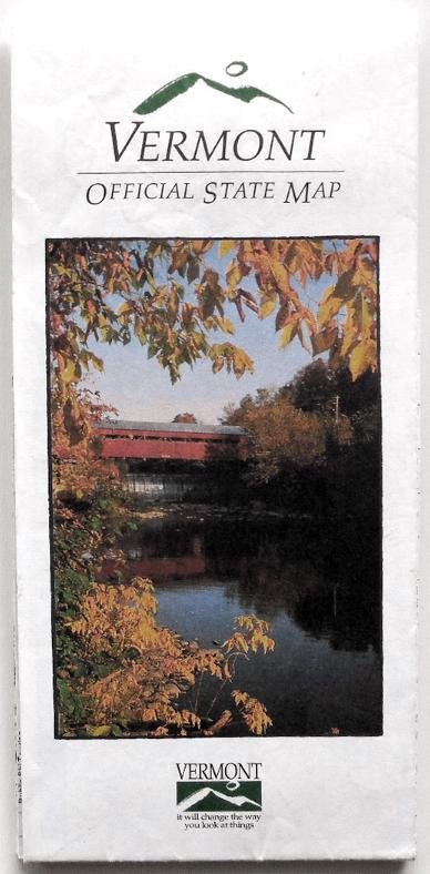


Description: Here's a very nice road map for the State of Vermont. This "Official State Map" was published by the Vermont Agency of Development and Community Affairs and the Department of Travel and Tourism. One side is devoted to a typical map of Vermont's overall road network, along with a number of smaller detailed maps for the cities of St. Albans, Newport, St. Johnsbury, Montpelier, Barre, Rutland, Brattleboro, Bennington, and Burlington. The other side, however, is devoted to promotional blurbs for the state's attractions and activities.
Size: Folded: approx. 8.5" x 4"
Open: approx. 28.75" x 34"
Copyright Date: 1995
Condition: Very good, I'd say. The map appears to be clean and fresh, with no tears or extraneous markings. (Please see photos.)
**NOTE**: Shipping charges are discounted when more than one of my items are purchased at the same time. See what else I have to offer!
Size: Folded: approx. 8.5" x 4"
Open: approx. 28.75" x 34"
Copyright Date: 1995
Condition: Very good, I'd say. The map appears to be clean and fresh, with no tears or extraneous markings. (Please see photos.)
**NOTE**: Shipping charges are discounted when more than one of my items are purchased at the same time. See what else I have to offer!


